Home
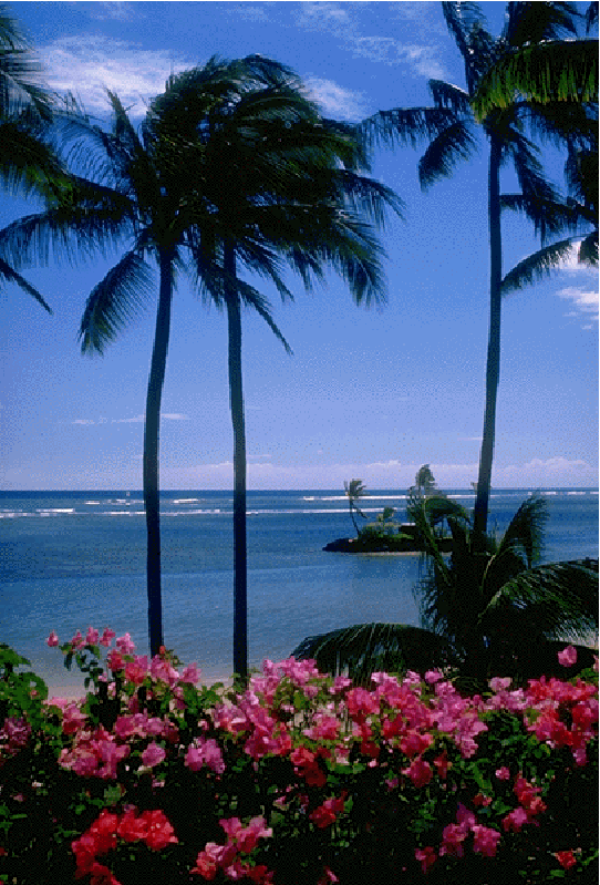
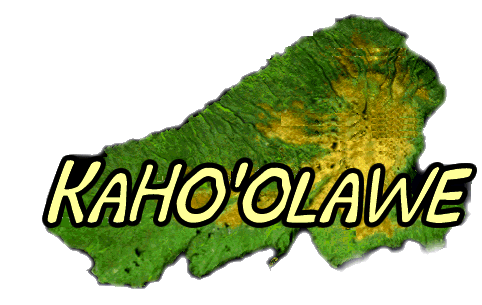
Introduction to Kaho'olawe
PowerPoint
Introduction
Kaho'olawe Surveyor Software
Development Team
Role Cards
Key Elements for Reinhabiting the
Island
Presentation
Assessment
Related readings:
- Archeology
- Culture
- Danger
- Development
- Environment
- Erosion
- Flaura & Fauna
- History
- Returning the Island
- Roads and Trails
- Streams
Your Development Team will be presenting a plan to reinhabit Kaho'olawe in the format of a map with key elements indicated. In order to accomplish this task the following questions will be investigated (does not have to be limited to these two questions). (Also see presentation and assessment) Questions:
Your Development Team consists of the following members:
Task
The class is divided into teams of 4. Each team member takes on one of the roles. In your team study the role cards. Each team member has a different role/perspective. Notice the various foci of each team member. After the roles have been decided the jigsaw method will be used to gather all the students from the various teams of the same roll- Expert collaboration. Expert collaboration: Now all the like roles are to gather and start researching the island from your role's perspective. Use the available resources to form an opinion about where key items should go on the island based on your role (all the biologists gather together, all the watershed experts etc.). Experts should study their role and use the available resources to establish their perspective and discuss where certain items should go on the island and why based on their perspective. All other roles will do the same thing. The expert collaboration stage is where each team member should have built up their knowledge base for informing the team of important issues from their perspective. It might be helpful to have a computer with the Surveyor software open, a word processor open on another computer and the Internet resources on another computer for each expert group. Each group of experts type up key facts/issues to print out and take back with them when they go back to their Development Team to refer back to as the Development Team decide placement of items on the island. Once research and perspectives have been established within the roles, Development Teams come back together to construct their plan of the items on the island. This is where the and how well the students researched their will determine if the students make the best choices. Each team member is to listen to the other perspectives as the team decides where items should go on the island.
|