Home - Background - History - Economy - ICT technology
About Ethiopia
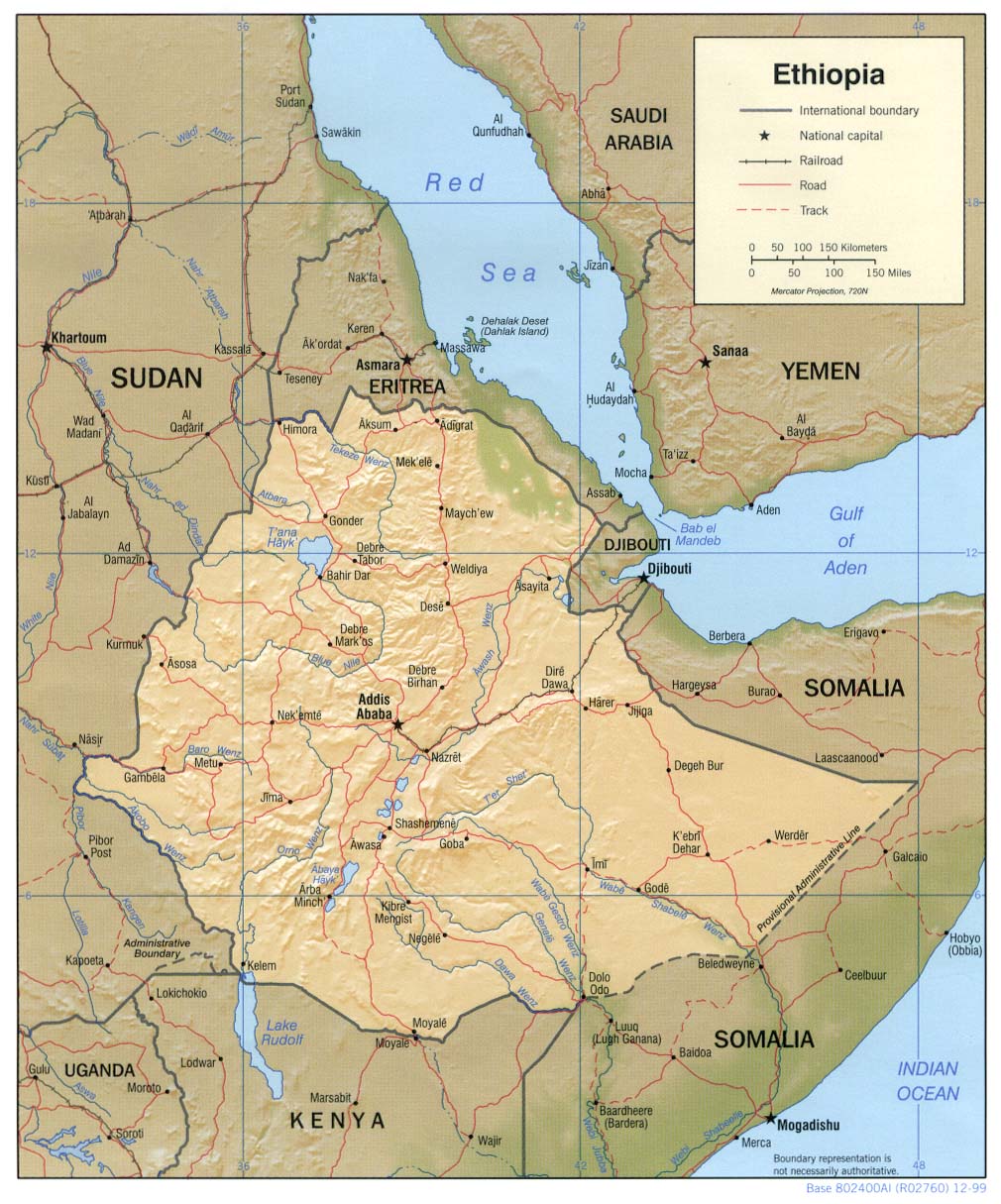
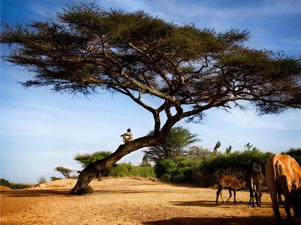
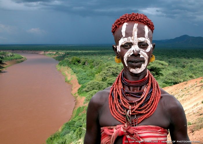
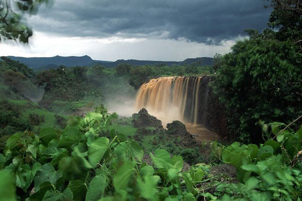
Country’s official name is Federal Democratic Republic of Ethiopia (FDRE). Total area is 1.1 million sq. km (472,000 sq. mi.), and is the tenth largest nation in Africa by area. Capital is Addis Ababa (pop. 5 million). Ethiopia is located in Eastern Africa and is bordered on the north and northeast by Eritrea, on the east by Djibouti and Somalia, on the south by Kenya, and on the west and southwest by Sudan. The country has a high central plateau, mountains, and dry lowland plains. Ethiopia is landlocked; entire coastline along the Red Sea was lost with the independence of Eritrea in 1993. Arable land is 10%, other 89% and permanent crops is 0.65% [1]. Ethiopia is the second most populous country in Africa with over 85 million people. Ethnic groups are Oromo 40%, Amhara 25%, Tigre 7%, Somali 6%, Sidama 9%, Gurage 2%, Wolaita 4%, Afar 4%, and other nationalities 3%. Main religion is Christian 60.8%, Muslim 32.8%, traditional 4.6%, and other 1.8%. Languages are Amharic (official), Tigrinya, Arabic, Guaragigna, Oromifa, English, and Somali. Elementary school attendance is 57%, and literacy is 43% [2]. AIDS can result in lower life expectancy (55.41), higher infant mortality (80.8/1000), higher death rates (11.55/1000), and lower population growth rate. People who are living with HIV/AIDS are 980,000 (2007) [1]. Type of the government is Federal republic. There are nine ethnically based states and two self-governing administrations. Branches are president, Council of state, and Council of Ministers. Executive power resides with the prime minister. As of 2008, there were 69 political parties and the opposition holds one third of parliamentary seats [4].